The Camino de Santiago de Gran Canaria

The Camino de Santiago de Gran Canaria is less Jacobean route known. However it is one of the most exciting ways to see the incredible landscape of the interior of the island. This route goes through the island from south to north starting at the beach of Maspalomas (although it officially starts in the temple of Tunte where the authentic Camino de Santiago begins) and it ends in Gáldar. It joins the towns of Santiago de Tunte and Santiago de los Caballeros de Gáldar.
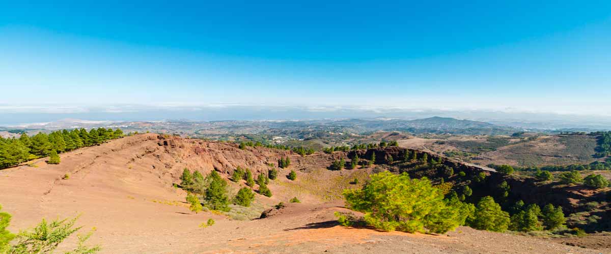
Pope John XXIII granted in 1965 to the city of Gáldar a papal bull. This gave the city the same privileges as Santiago de Compostela to celebrate the Jacobean Holy Year. The Camino de Santiago de Gran Canaria has 3 stages. The three stages have a total of 73 kilometers. Each stage has a different length and difficulty, but the landscape of volcanoes and ravines is worth it.
This is the most complex and intense stage of the Camino de Santiago de Gran Canaria. The route begins at Playa del Inglés. First of all, you must follow the instructions to get to Elmasa Water Treatment Plant. Once there, you have to choose between two variants.
The first option is to continue along the ravine of the Vicentes, an easier route. The second option would be going through the Fataga ravine, a harder option that reaches 1,161 meters. Both routes reach Degollada de la Manzanilla. From there, you will have to make a sinuous descent until you reach the church of Santiago de Tunte.

This second stage is a little easier than the previous one. The stage starts leaving Tunte in the direction of Degollada de Cruz Grande. On this route you will find a section of great beauty at the height of the Paso de la Plata, just before reaching the Llanos de la Pez. On this path, there will be again two options.
The first one takes you to the highest point of the island, the Pico de las Nieves. The second one is the one that you must follow. It descends towards the Llanos de Garañón. That road continues to the Cruz de Tejeda, where there are beautiful views of the Nublo and Bentayga rocks.

This is the last stage of the Camino de Santiago de Gran Canaria. To continue this route you have to take a path that starts from a pond in the village. That trail reaches the Degollada de las Palomas. Once there, you should take a forest track in the direction of the Cross of the Moriscos.
In this section you will find the fascinating Natural Monument of the Black Montañón. In this section you should use some roads such as GC-21, GC-702, GC-220 and GC-2. After crossing an underpass, Gáldar will be right there. Following the streets of Betejuí and Tagoror you will reach the final destination: the Church of Santiago de los Caballeros.
